IIT Bhubaneswar team pioneers satellite method for bauxite exploration | Bhubaneswar News – The Times of India
Bhubaneswar, India – A research team from the Indian Institute of Technology (IIT) Bhubaneswar has made a significant breakthrough in mineral exploration by developing a satellite-based method to identify bauxite deposits. This innovative approach has the potential to revolutionize how bauxite, the primary ore used in aluminum production, is located and assessed.
Overview of the Research
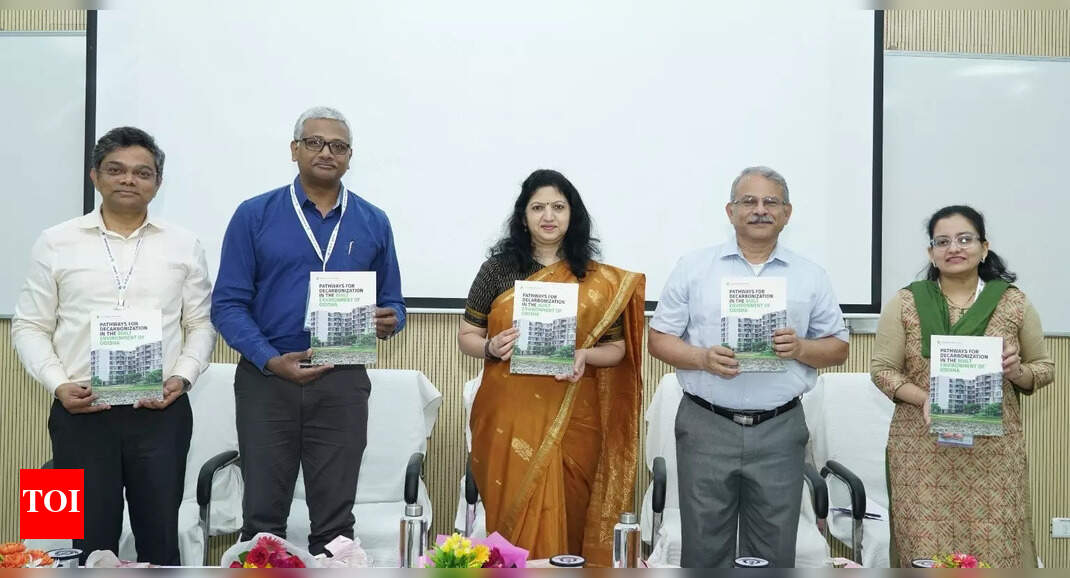
Led by Assistant Professor Ashim Sattar, the IIT Bhubaneswar team has successfully mapped potential bauxite sites in the Koraput and Rayagada districts of Odisha. Their findings were published in the peer-reviewed ‘Journal of Geochemical Exploration’, marking a significant contribution to the field of mineral exploration.
Significance of Bauxite Exploration
Bauxite is crucial for various industries, including aerospace, construction, and packaging. With India’s aluminum market projected to face a supply gap by 2030, securing domestic bauxite resources has become increasingly important. Odisha is home to approximately 2.3 billion tonnes of bauxite reserves, which accounts for more than half of India’s total bauxite resources.
Innovative Methodology
The research team utilized advanced hyper-spectral satellite remote sensing technology to identify areas likely to contain bauxite deposits. This method combines satellite datasets with field investigations, geochemical and petrographic analyses, and laboratory-based spectral measurements.
Hyper-Spectral Imaging
Hyper-spectral imaging involves capturing and processing information from across the electromagnetic spectrum. By analyzing the spectral signatures—distinct electromagnetic response patterns of earth materials—the researchers were able to detect indicators of bauxite presence in the two districts.
Advantages of the New Method
The integrated approach developed by the IIT Bhubaneswar team offers several advantages over traditional exploration methods:
- Speed: The satellite method allows for quicker identification of potential bauxite sites compared to conventional techniques.
- Cost-Effectiveness: Utilizing remote sensing technology reduces the costs associated with field surveys and exploratory drilling.
- Environmental Responsibility: The method minimizes environmental disruption, making it a greener alternative for mineral exploration.
Implications for Industry and Policy
The findings from this research are expected to assist industry stakeholders and policymakers in several ways:
- Identifying priority exploration zones for bauxite mining.
- Improving resource planning and allocation.
- Reducing environmental impacts associated with mineral exploration.
Recognition and Future Prospects
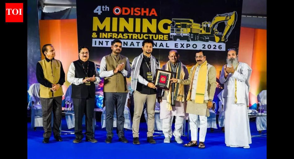
The innovative work of the IIT Bhubaneswar team was recognized at the Odisha Mining and Infrastructure International Conference, where they received accolades from the state government. This recognition highlights the importance of their research in the context of India’s mineral resources.
Conclusion
The pioneering satellite-based method developed by the IIT Bhubaneswar team represents a significant advancement in the field of bauxite exploration. By combining cutting-edge technology with traditional field methods, the team has created a robust framework for identifying bauxite deposits in Odisha and potentially other regions. This research not only addresses the pressing need for sustainable mineral exploration but also strengthens India’s position in the global aluminum market.
Note: The information presented in this article is based on the latest research findings and developments as of January 2026.