DAM-IN: Mapping the Health of Dam Catchments Across India
A new initiative by researchers at the Indian Institute of Technology (IIT) Jodhpur has unveiled a comprehensive dataset known as DAM-IN, which aims to enhance the understanding of dam catchments across India. This innovative dataset aggregates over 45 attributes for every dam catchment in the country, providing an in-depth overview of the dams and their surrounding environments, which are crucial for assessing dam safety and performance.
The Importance of Dams in India
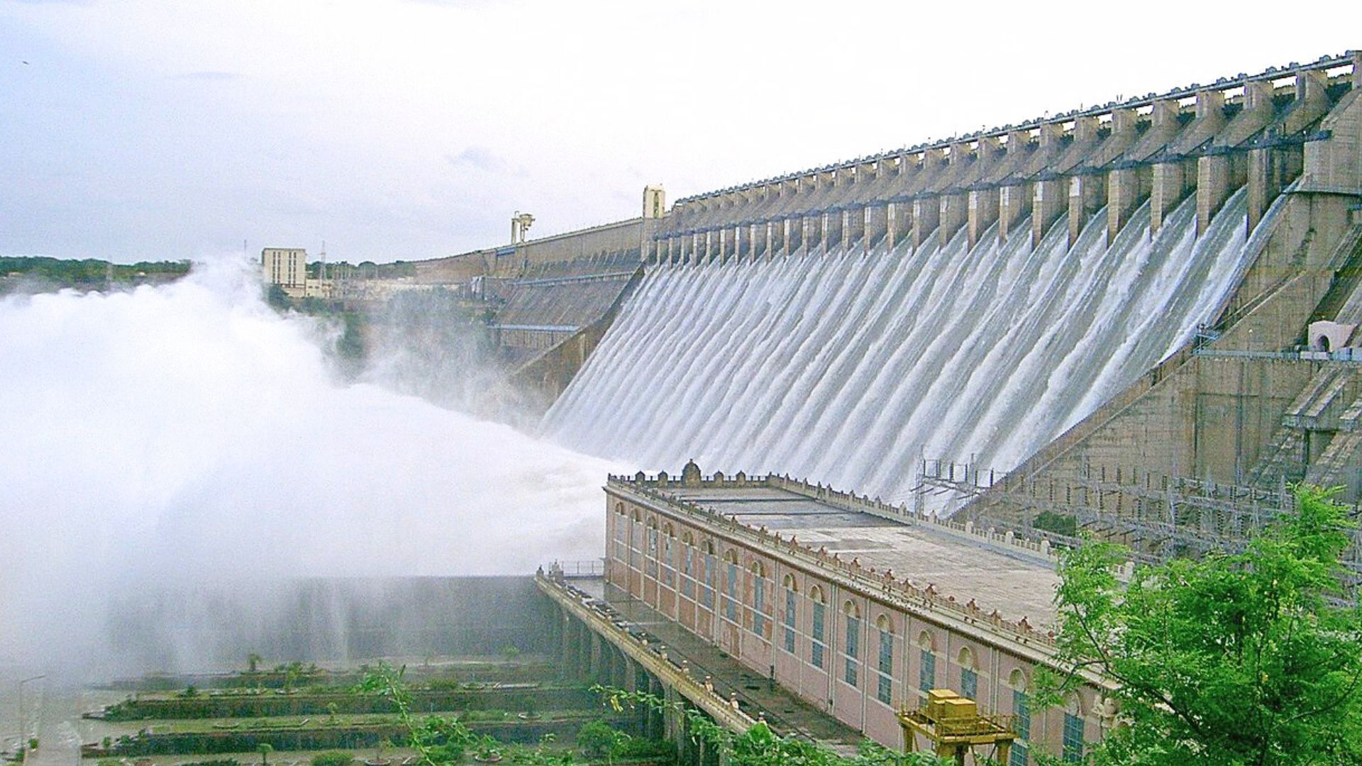
India is home to approximately 5,715 dams, which play a vital role in various sectors, including agriculture, industry, flood control, and electricity generation. However, these essential infrastructures are increasingly susceptible to extreme weather events. According to the Central Water Commission, around 44% of dam failures in the past have been attributed to hydrological extremes. Notable incidents, such as the breach of the Tiware Dam in Maharashtra in 2019, highlight the urgent need for improved risk assessment and management of these structures.
Overview of the DAM-IN Dataset
The DAM-IN dataset is a pioneering effort that integrates both observed and remote sensing data to create a detailed profile of dam catchments based on six critical characteristics:
- Topography
- Climate
- Geology and groundwater
- Soil
- Land Use Land Cover (LULC)
- Human-induced activities
Methodology
The researchers began by defining the watershed for each dam, which is the area of land where all water drains to the dam’s outlet. This was accomplished using high-resolution, 30-meter Digital Elevation Map (DEM) data from the Shuttle Radar Topography Mission (SRTM). Once the catchment boundaries were established, geographical information systems (GIS) tools were employed to calculate essential topographical attributes, including:
- Mean elevation
- Slope
- Area
- Circularity ratio
These factors are crucial for understanding water flow, sediment transport, and erosion within the catchment area. The data revealed that most dam catchments have low slopes, typically less than 7 m/km.
Geological and Groundwater Assessment
The research team incorporated geological attributes from global maps like the Global Lithological Map (GLiM) and the Global Hydrogeology Maps (GLHYMPS). This information is vital for understanding groundwater flow, which significantly impacts the hydrological conditions of dam catchments. The study estimated mean groundwater levels using data from over 4,900 stations, noting that central India generally has shallow groundwater, while deeper groundwater levels are found in the southern and western regions.
Soil and Land Use Analysis
To account for surface-level processes, the researchers included eight primary soil attributes, which are essential for hydrological models. They utilized the Harmonised World Soil Database (HWSD) to map soil texture, organic carbon content, porosity, and conductivity across each catchment. The analysis of Land Use Land Cover (LULC) data from the National Remote Sensing Centre (NRSC) revealed that agriculture is the dominant land cover in most catchments, followed by forest and scrub. Seasonal variations in vegetation health were quantified using the Normalised Difference Vegetation Index (NDVI).
Climatic and Human Impact Data
The study also integrated extensive climatic and human impact data. Utilizing information from the India Meteorological Department (IMD) and the European Centre for Medium-Range Weather Forecasts (ERA5), the researchers analyzed precipitation, temperature, wind, and potential evapotranspiration from 1951 to 2019. Furthermore, human influence was mapped using four key indicators: road density, human footprint, night-time light, and population count, highlighting the anthropogenic activities that continuously alter the natural conditions of dam catchments.
Significance of the DAM-IN Dataset
The DAM-IN dataset significantly enhances previous global dam datasets, such as the Global Dam Watch and the Global Dam Tracker. While these earlier resources provided general location and capacity information, they lacked the comprehensive static and dynamic catchment attributes necessary for advanced hydrological and hydraulic studies, particularly those focused on dam safety. By delineating the precise watershed for each dam and populating it with over 45 detailed variables, the DAM-IN dataset serves as a unique resource tailored to address regional challenges.
Conclusion
The DAM-IN dataset has the potential to empower engineers, researchers, and policymakers to conduct more accurate analyses of the health of the 5,715 dams across India, ultimately improving the management of the country’s vital water infrastructure.
Note: This article was written with the help of generative AI and edited by an editor at Research Matters. The article was updated to fix a typo. The error is regretted.